Important Information for Developers
Wollondilly is one of the fastest growing regions in NSW, combining the best of country living with the benefits of being in close proximity to metropolitan Sydney.
Given the heightened demand, developers should take note of various considerations and handy information listed below. For additional inquiries, please to reach out to the Council via council@wollondilly.nsw.gov.au or 02 4677 1100.

WATER RECYCLING CAPACITY CONSTRAINTS
Sydney Water has indicated that current capacity constraints at the Picton Water Recycling Plant are impacting their ability to allow new housing and growth connections. More information can be found in the Picton Water Recycling Fact Sheet and online via Sydney Water.
ENGINEERING DESIGN & CONSTRUCTION SPECIFICATIONS
Engineering Design Specification and Engineering Construction Specification for use with subdivision and other developments are available for download below.
A review of the 2016 Design Specifications has been undertaken by Council in order to incorporate the recently adopted Water Sensitive Urban Design Policy and Western Sydney Street Design guidelines. Other minor changes to the specification can be found in the amendment record at the front of each section. There are no proposed changes to the Construction Specification at this stage.
EASEMENTS, RESTRICTIONS AND POSITIVE COVENANTS GUIDE
Standard Wording for Easements, Restrictions and Positive Covenants is a guide provided to assist suitably qualified solicitors, conveyancers and registered surveyors in preparing a section 88B instrument for Subdivision Certificate applications pursuant to the provisions of the Conveyancing Act 1919 (NSW).
ADAC - WORK AS EXECUTED (WAE)
Council requires As-Constructed information on new and upgraded infrastructure and assets. These need to be submitted at the completion of the works. This information must include both Works-as-Executed Plans and an accompanying ADAC XML digital file. The ADAC XML Data Capture Guidelines are available for download below.
Guidelines
On completion of physical works, prior to asset handover and issue of a Subdivision Certificate, the “Work-as-Executed” (also known as As-Constructed” or “As-Built”) bundle of information must be provided to Council. This information and engineering data is used to confirm the quality of works, indicate relative asset locations and alignments (survey) while also noting other approved changes in asset types or construction details that may have occurred during the operational works phase when compared to the originally-approved design.
The final “Work-as-Executed” (WAE) drawings, reports and digital data should accurately reflect material types, specifications and other asset-specific information. The WAE package will routinely include:
1. Marked up and red-lined council-approved plans depicting all new civil infrastructure and assets,
2. An accompanying compliant ADAC XML Digital File, and
3. Other reports and information provided in accordance with the relevant approval(s).
Work as Executed (WAE) Drawings
The presentation and content of WAE drawing submissions are to be completed in accordance with Council’s Design Specification, can be downloaded from the Engineering Design & Construction Specifications section of this webpage.
Final WAE drawings are to be provided to Council in both CAD (.dwg) and PDF file formats being printable to A3 size. Plans are to be clearly marked up (red-lined) showing all variations from design including changes to levels, alignments and material types. Drawings are to be clearly stamped “Work as Executed” or “As-Constructed” and noted as the WAE or As-Constructed version in the revision title block details.
Signed Certifications are to be completed on each and all pages of the submitted drawings by the:
1. Registered Engineer, certifying to the accuracy of all asset information, engineering details and design standards, and;
2. Registered Surveyor, certifying to the locational accuracy with regard to physical features and assets, cadastral information, contours, levels and the applicable survey datum information.
ADAC (Asset Design As Constructed) XML Files
A compliant ADAC XML file is required to be submitted as an accompaniment to the WAE drawing(s) and supporting information. The ADAC XML data must align with the corresponding WAE drawing(s).
On acceptance of the WAE bundle of information, Council will undertake data format and conformance checks on the ADAC XML file to confirm validity and completeness with the accompanying WAE drawing(s). Should significant anomalies, errors or missing information be identified during these checks the files will be returned to the provider for correction and resubmission potentially delaying the issue of conformance Certificates and the acceptance of the assets “On-Maintenance”.
INSPECTION FOR BOND RELEASE APPLICATION
Bond Release Application form related to Road Occupancy / Development Works.
Download the form below and submit to development.engineering@wollondilly.nsw.gov.au
TELECOMMUNICATIONS IN NEW DEVELOPMENTS POLICY
In September 2020, Commonwealth legislation requiring developers to give new housing developments better access to modern telecommunications came into effect.
If you are a developer or owner-builder, there are important Commonwealth telecommunications rules you need to comply with.
BUSH FIRE PRONE LAND
Bush Fire Prone Land (BFPL) is an area of land that has the potential to carry a bush fire and may be subject to bush fire attack. Bush Fire Prone Land identifies vegetation hazard within an LGA, this includes most vegetated areas and land that falls within the buffer distance of that vegetation and is recorded on a Bush Fire Prone Land Map that has been certified by the Commissioner NSW Rural Fire Service (NSW RFS). The Map acts as a trigger for the consideration of bushfire protection measures for any development that may be proposed on a property.
CERTIFICATION OF WOLLONDILLY BUSH FIRE PRONE LAND MAP
Council has been notified that the NSW RFS Commissioner has certified a new Wollondilly Shire Council Bush Fire Prone Land Map on the 30th May 2023, in accordance with the Rural Fires Act 1997 and in line with the latest legislation. This has replaced the previous Bush Fire Prone Land Map for Wollondilly.
Your property may now be identified on the map as being Bush Fire Prone Land, even if it may not have been previously.
Council’s interactive online mapping system has been updated to include the new Bush Fire Prone Land Map which can identify if your property is designated as bush fire prone land.
PLANNING FOR BUSH FIRE PROTECTION
If your property is identified as either partially or wholly Bush Fire Prone, the RFS website provides an interactive questionnaire which is designed to help you navigate the information contained within Planning for Bush Fire Protection (PBP) and how it effects you. All developments on land that is designated as bush fire prone has a legal obligation to consider bush fire and meet the requirements of Planning for Bush Fire Protection and AS3959.
Whether you are planning to build a new house, start a renovation or simply have questions about how to better prepare you property, the questions will help you find what you need to know.
BUSH FIRE PRONE LAND MAPPING TOOL
The bush fire prone land online mapping tool has been created using NSW Local Council’s bush fire prone maps and is designed to identify if your property is designated as bush fire prone. The Tool is provided by the NSW Rural Fire Service (NSW RFS) and will show you whether you property is identified as being Bush Fire Prone, which will trigger requirements for building on your property.
MAPPING ON THE NSW PLANNING PORTAL
Alternatively, the NSW Planning Portal is an online environment where community, industry and government can work together to better understand and meet their obligations under the Environmental Planning and Assessment Act 1979. It hosts a range of digital planning services, mapping tools and reporting tools to assist everyone involved in a proposed development.
The Planning ePortal includes a Spatial Viewer (map) which has not yet been updated. Council will update our website and provide the link once the Planning Portal is updated. As the updates to the public websites are the function of other authorities, Council are not informed when this update occurs.
MORE INFORMATION ON BUSH FIRE PRONE LAND
The NSW RFS provides information on bush fire protection, assessment and the legal framework that governs the planning process for proposed developments on bush fire prone land in NSW.
The NSW Rural Fire Service (RFS) provides helpful information on how to plan and prepare when building in a bush fire prone area, and is relevant to home owners, developers, planners, councils and other government organisations.
A Fact Sheet prepared by the NSW Rural Fire Service containing more detailed information is also available.
Upcoming Events

Walk It Off - Warragamba
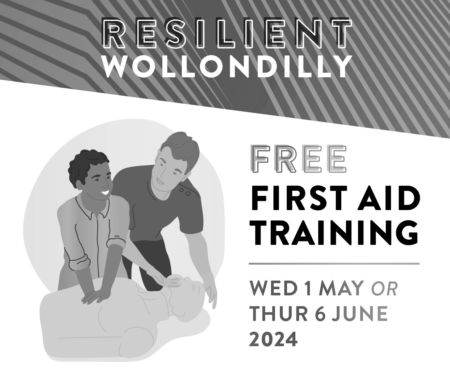
Free first aid training sessions

Go4Fun in Wilton
Latest News
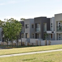
Thousands of new homes delayed for years as Sydney Water backflips on sewer capacity for Growth Area

Thousands expected to visit Thirlmere Festival of Steam this May

Connecting Seniors program brings generations together in Wollondilly