Wilton New Town
Wilton 2040 sets the land use vision and structure for the area, comprising six sub-precincts which will be supported by Council though a neighbourhood planning process.
Sydney Peri Urban Network (SPUN)
Consisting of 12 Council's SPUN is a leader in advocating for peri urban issues at the state and national level.
Greater Macarthur Growth Area
Macarthur Growth Area which incorporates Glenfield to Macarthur as urban renewal precincts and Appin as a land release precinct.
Local Strategic Planning Statement - Wollondilly 2040
The LSPS outlines the land use planning vision for Wollondilly over the next 20 years. This vision is for a prosperous, sustainable and resilient future for Wollondilly residents, with an enviable lifestyle of historic villages, modern living, rural lands and bush settings.
Western Sydney City Deal
The City Deal brings resources from Commonwealth and NSW Governments, and the eight Western Parkland councils together to deliver projects that underpin great cities – connectivity, jobs, investment, environmental sustainability, and liveability.
Western Sydney International Airport
Western Sydney International Airport will be just 11km directly north east of Wollondilly and it will have implications for certain lands in Wollondilly local government area in proximity to the runway.
M9 Orbital Consultation
Transport for NSW is identifying land for the Outer Sydney Orbital corridor which would provide for a future north south motorway and freight rail line.
M12 Motorway Development
The M12 motorway will provide direct access to the Western Sydney International Airport at Badgerys Creek and connect to Sydney’s motorway network.
Growth In Wollondilly Menu
Wilton New Town
Wilton 2040 sets the land use vision and structure for the area, comprising six sub-precincts which will be supported by Council though a neighbourhood planning process.
Sydney Peri Urban Network (SPUN)
Consisting of 12 Council's SPUN is a leader in advocating for peri urban issues at the state and national level.
Greater Macarthur Growth Area
Macarthur Growth Area which incorporates Glenfield to Macarthur as urban renewal precincts and Appin as a land release precinct.
Local Strategic Planning Statement - Wollondilly 2040
The LSPS outlines the land use planning vision for Wollondilly over the next 20 years. This vision is for a prosperous, sustainable and resilient future for Wollondilly residents, with an enviable lifestyle of historic villages, modern living, rural lands and bush settings.
Western Sydney City Deal
The City Deal brings resources from Commonwealth and NSW Governments, and the eight Western Parkland councils together to deliver projects that underpin great cities – connectivity, jobs, investment, environmental sustainability, and liveability.
Western Sydney International Airport
Western Sydney International Airport will be just 11km directly north east of Wollondilly and it will have implications for certain lands in Wollondilly local government area in proximity to the runway.
M9 Orbital Consultation
Transport for NSW is identifying land for the Outer Sydney Orbital corridor which would provide for a future north south motorway and freight rail line.
M12 Motorway Development
The M12 motorway will provide direct access to the Western Sydney International Airport at Badgerys Creek and connect to Sydney’s motorway network.
Upcoming Events
27
Mar
Walk It Off - Warragamba
1
May
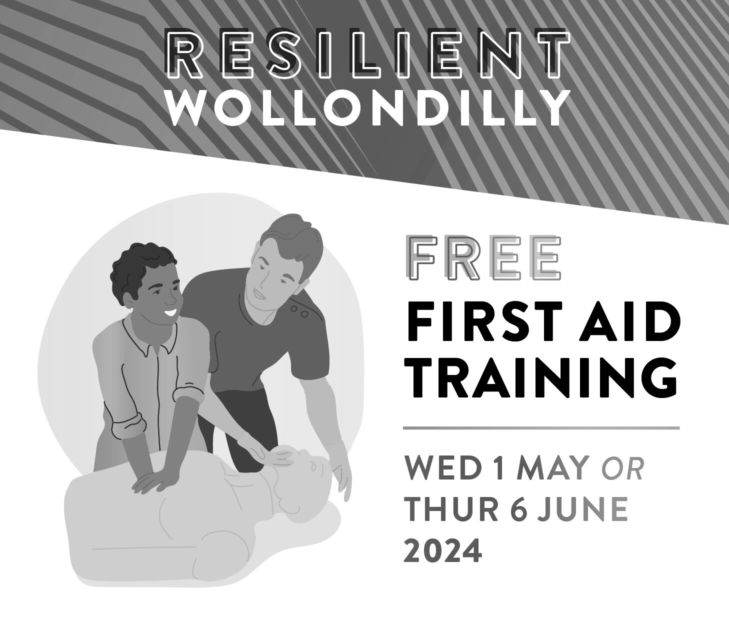
Free first aid training sessions
4
May
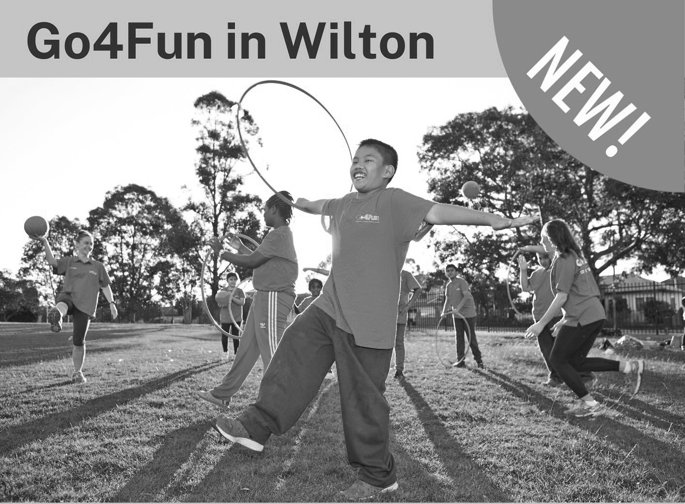
Go4Fun in Wilton
Latest News
Thousands of new homes delayed for years as Sydney Water backflips on sewer capacity for Growth Area

Thousands expected to visit Thirlmere Festival of Steam this May

Connecting Seniors program brings generations together in Wollondilly